SAGINAW AND MANISTEE, BELLEMONT LINE: NORTH OF KENDRICK PEAK,
PART 3
(KENDRICK NORTHLINE: WEST BRANCH)
COPYRIGHT, ALL RIGHTS RESERVED
ALL MAPS COURTESY GOOGLE MAPS (REGISTERED TRADEMARK)
This is the third installment in a multi-part series on the Saginaw's Bellemont Line, north of Kendrick Mountain. To simplify understanding, and avoid a very long title sequence, this series will henceforth be entitled either Kendrick North: West Branch, or Kendrick North: East Branch. If you have a forest map handy, these two branches split from the main Bellemont line near North-West Tank, at Cowley Park. This area is on private property and is beginning to be built up. Some of the lines in this area can be seen from the road or accessed by forest roads.
The west branch generally follows a northerly heading, passing along the base of Kendrick Peak, past Crater spring tank and Crater Lake. The line becomes FR760, looping to the West of Horseshoe Hill, then intersects with FR191C (which is accessible from Highway 180.) FR 760 continues North, intersecting with FR90. The focus of this post is the spur that ran north from FR90.
The forest roads in this area are very rocky and steep. Please use an appropriate vehicle to access this region. Although you would be within 1-5 miles of Highway 180, the walk would be difficult across broken terrain. Nature is neither unkind or caring; it will do what it can to eat you or absorb you into the flora and fauna. All references are for informational purposes only and should be verified; hopefully you won't end up in Kansas. As always, repeating what needs to be said, leave artifacts where you find them.
One of my objectives was to find out how far north the Saginaw's Bellemont line reached. Often they were limited to the timber sales by the Forest Service, however there were also private holdings and reserves that were owned by the Saginaw. This area was reached circa 1917, at a time of Big wheel (high wheel) logging and iron horses. The government was exercising its control over the timber reserves, as can be witnessed by the ranger stations that were beginning to pop up around the landscape. Government rangers and scalers were measuring the yields that were being removed from their lands.
What is evident is that the Saginaw had large scale operations, some working concurrently, in this general area. Yet it has been somewhat murky as to how large a footprint this was. Initial findings over the past five years indicates it was quite substantial, which would indicate that the amount of timber was beneficial and profitable for the company (more can be found on the Bellemont Line in prior posts.)
An overview of the study area, comparing the distance the of separate spurs and lines covered in Parts 1-4. Red flags indicate where reference points were taken with a smart phone. The indicated spurs are about five miles distant from one another.
FR90 is where we begin our hike (35.45067 N, 111.85070W.) The line is about two miles in length from this point, so plan accordingly.
You will have to duck under a cattle fence to reach the grade.
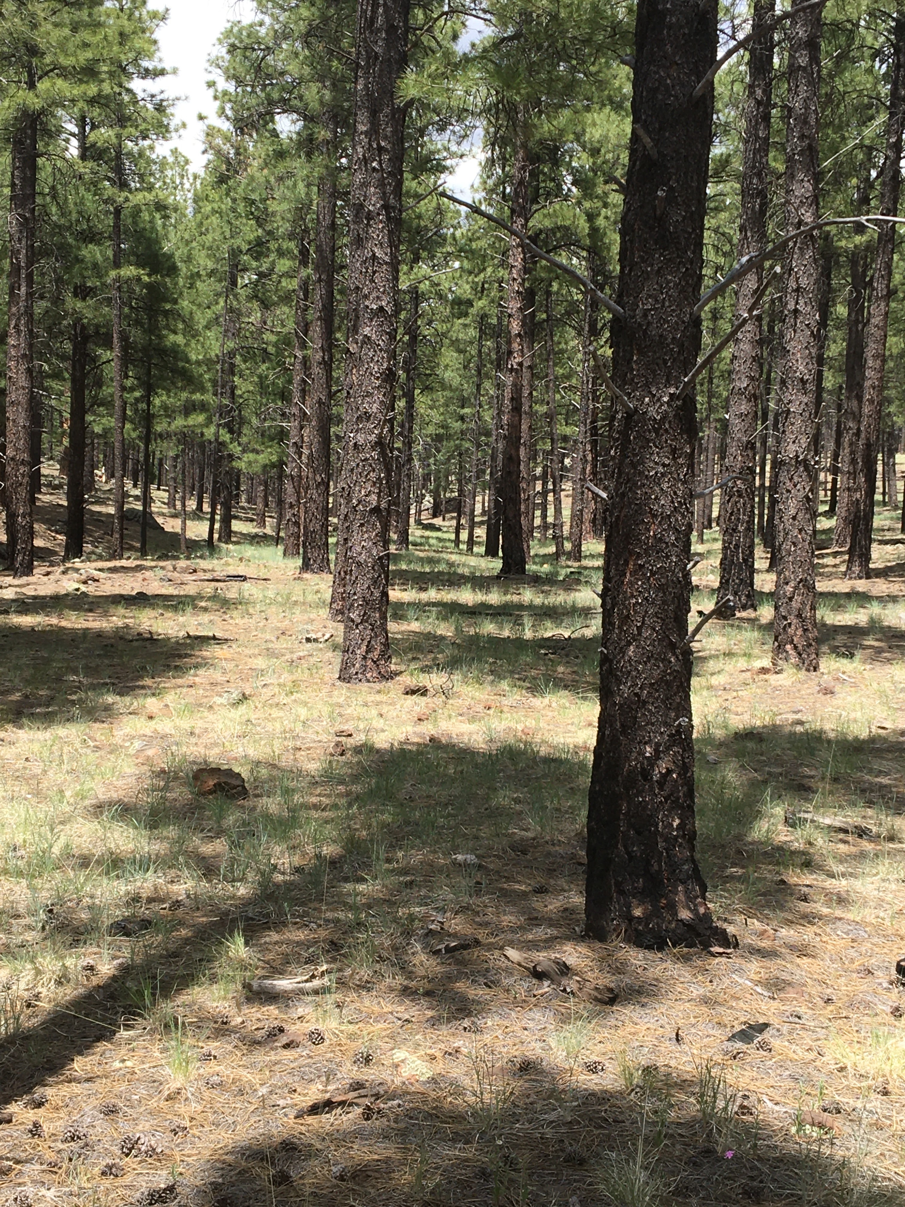
It is very pronounced at this location. Follow it North.
Be careful to navigate using the grade as your guide. At times it is almost invisible.
The line curves, then enters into a ravine. Note the rock wall and fill.
Atypical of Saginaw woods lines; they used sections of timber to support the roadbed. This also speeded up the process in filling in the grade. They needed to move as fast as possible yet provide enough of a firm-footing so the grade would not slump away.
At this point, the line split into two spurs (35.45790N, 111.85218.)
I explored the spur on the right. The other spur was seen going through the woods; this will be explored at another time. This might prove to be the spur that extends the Saginaw farther north than what is now known. There is some indication that a siding was located at this point. An old closed forest road once crossed the grade.
looking down the grade where the line continued towards another ravine
This is in the area where the side spur continues up the hill to a clearing. The image shows the line continuing into a ravine, which curves around the base of the hill. The rockwork and fill for the grade is substantial, with walls and areas cleared for the track. There are indications that a passing siding was located in this area (35.46056 N, 111.85252 W.)
The line continues for some distance, at times in the ravine, at other times climbing the slope.
After all these years (105+) ties still lay across the roadbed.
Please leave all artifacts where you find them.
An indication of the amount of effort that went in to building the grade. Those are large rocks that were moved and stacked, then the grade was filled with stones and earth. Keep in mind that this was done when horses pulled scrapers, and men used hand tools.
The line enters a large open area, where it would have been relatively easy for horse teams to skid the timber to the rail line.
Looking back through the trees.
The line ends near this spot (35.46825N, 111.85747W.) Looking over the edge towards a plunge pool. The hillside on the far side of the ravine can be seen. In order to cross this ravine would require bridgework and additional switchbacks. The terrain decided that the Saginaw would stop and tread no further.
Looking down into the plunge pool. It would be an awesome sight to
see water rushing down the falls and into pool.
Looking past the pool, further into the ravine.
It was strewn with boulders and rocky outcroppings.
SUMMARY
By all appearances, this was a substantial operation, with a great deal of time and resources invested in its construction. The road bed was built well enough to provide access to the timber stands, not to class one standards of today. However, it is now over one-hundred years and large sections of this grade have withstood the passage of time.
The line ends at or near 35.46825N, 111.85747W, thus becoming the farthest north of any Saginaw spur on the Bellemont Line, that has left a tracable imprint upon the landscape. It is possible that the spurs located to the east of Highway 180 reached Maverick Tank, however confirming this with a verifiable grade is at best challenging.
This area around Kendrick Peak deserves additional research, however due caution must be observed. It is rugged, steep and remote. Adequate preparation and archival research should be done prior to scampering about the forests in pursuit of history...
Part Four will soon be forthcoming.
(For those who have been following this Blog: I recently acquired an original pamphlet of "The Lumberjack," published by the Safety and Welfare Committee of the Saginaw and Manistee Lumber Company, Volume 1, May 1923, Number 1. This might be the only known copy in existence. More on this later.)


No comments:
Post a Comment