SAGINAW SOUTHERN Part I: NORTH OF PERKINSVILLE AREA
We all have those fixations in life that tend to constantly draw our attention, such as a hobby, a building project, or the perfect lawn. One of those vexing problems for me is to find the exact point where the Saginaw Southern ended. It isn't located at a nice sign post placed on a gravel turn-out, along with an appropriate monument. After all, this was incorporated as a class one railroad that ran south from Williams. Maybe someday national leaders will come to lay a golden spike or other appropriate offering at the end of the rail line. Or this just may be my obsession getting the better of me.
Nevertheless, this research project has revealed a number of hidden historical treasures.
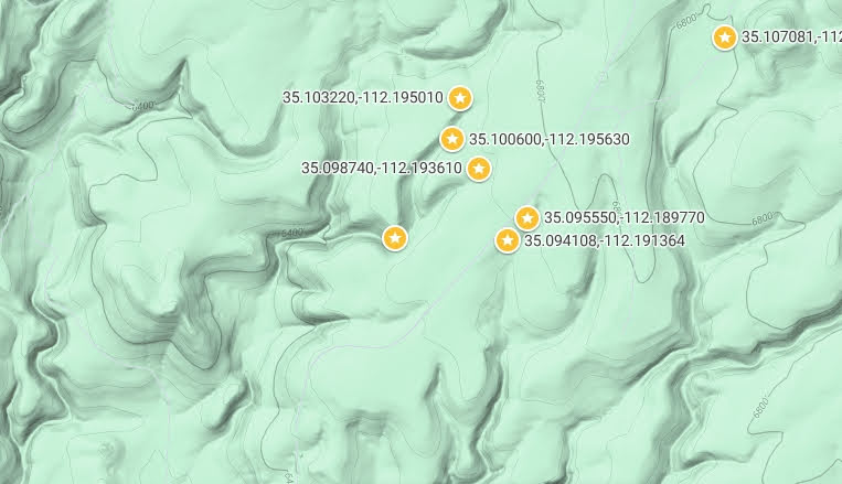
The map identifies a vast region to the south of Williams, Arizona. it is bordered on the west by FR186, to the South includes FR 44, To the East includes Perkinsville Road, and to the North the road continues to Williams. Coordinates indicate multiple routes that were taken to explore the area.
The majority of the following images were taken around FR44. Specific images taken at the provided coordinates will be included in each post.


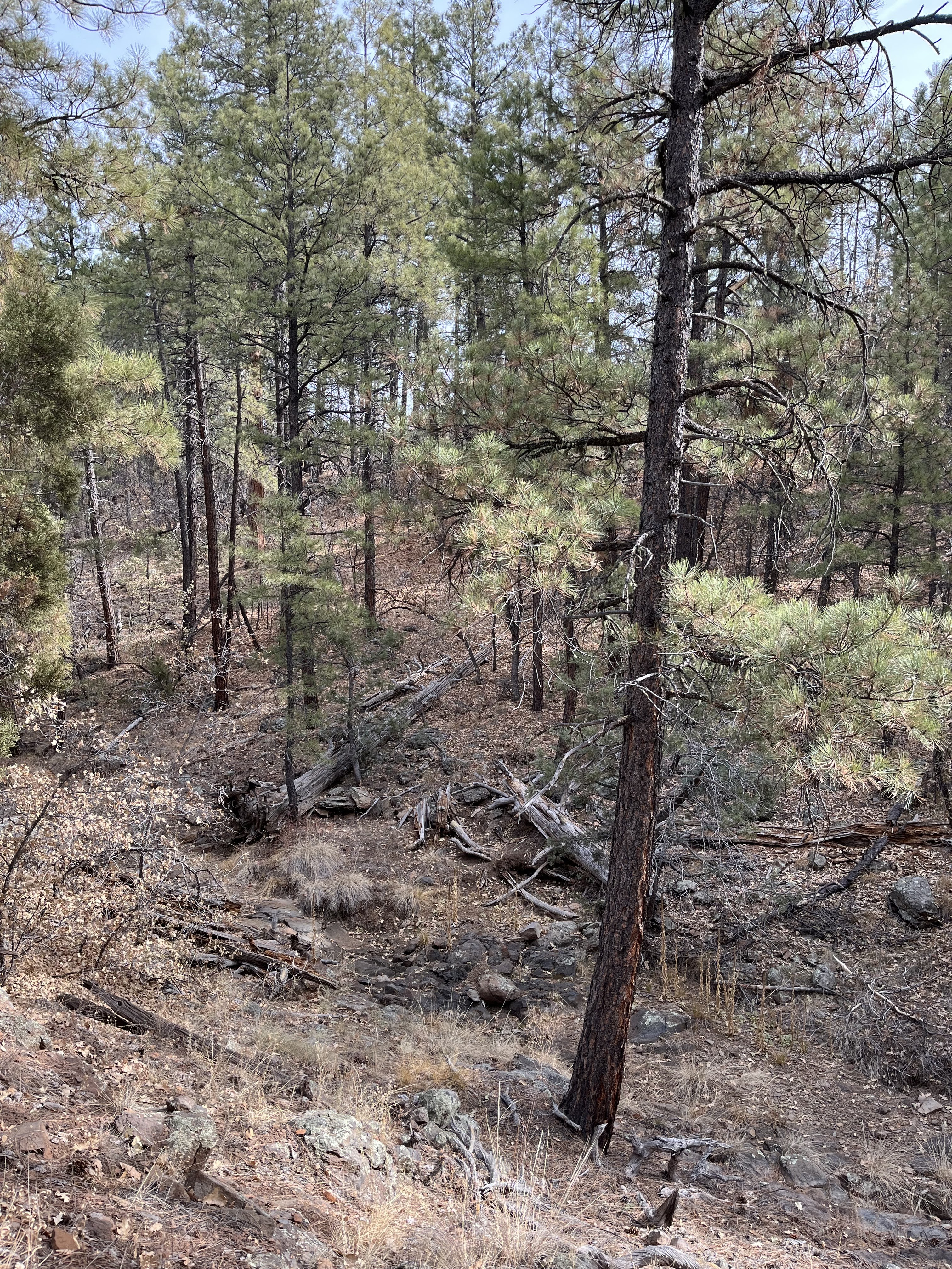
Wash area. There are numerous stumps in the drainage,
some that appear to be from the Saginaw era, up to the current times.


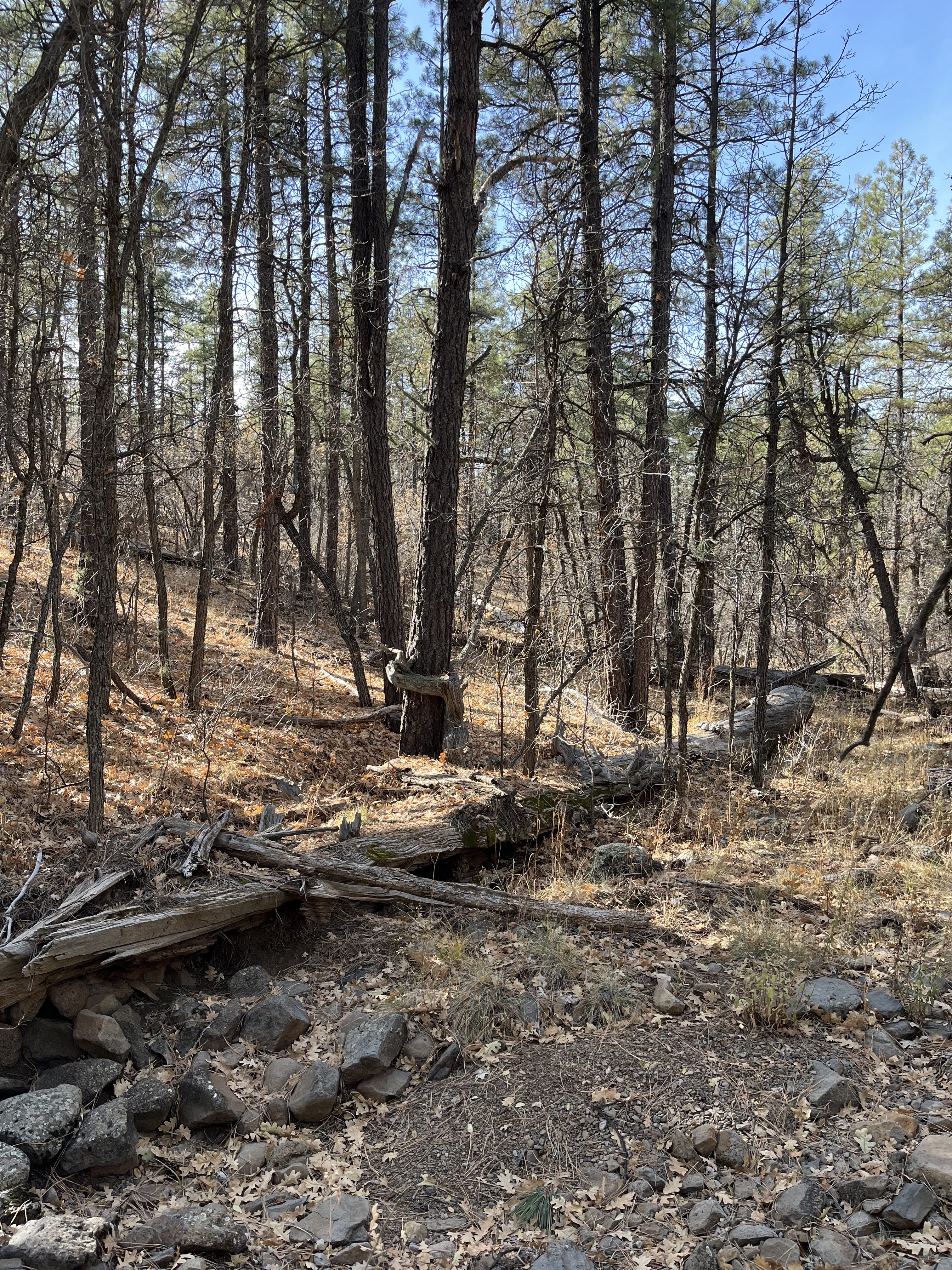

In one of the side ravines, I found a jumble of cut trees, having all the appearance of having been left on the ground through the ages since the Saginaw. I measured one to be about 45 feet in length. More modern logging methods would have required these magnificent logs to be removed and not wasted. Despite a number of visits to the region, I could only locate one definitive entrance for the early loggers. However, others must exist, including the possibility that the forest roads were built on early logging trails.
I did not find any indication that rail spurs were laid in this region, other than that which has already been documented. The most logical theory is that horse drawn Big Wheel logging carts were used to move the logs to the existing railheads.
Additional findings will be posted in parts II through IV, along with some startling conclusions. Those reference points will reveal more of the history that has been waiting to be found in this vast region.