
MOOSE RANCH TANK AND ROSILDA SPRINGS AREA

Saginaw and Manistee Logging Grades in the Moose Ranch Area.
Blue indicates the proposed mainline from Garland Prairie to the Williams mill. It also designates the remains of a logging grade in Rosilda Spring Canyon, that connected with Garland Prairie.
Red indicates the spurs south of the Tank. Evidence indicates that they connected near Moose Ranch and Rosilda Springs. The dotted red line indicates the connection according to Forest Service maps.
Yellow indicates the 1893 grade from Chalender, which is assumed headed east for an undetermined distance. This is the grade that the Garland Prairie line connected with in 1924, but deviated into Rosilda Spring Canyon.
Orange indicates the remains of the second Chalender spur.
Moose Ranch Tank is nestled in a park-like setting, near FR 139 and just west of FR109 (the same road that takes you to White Horse Lake Recreation Area.) The Ranch is on private property, with clearly marked fencing surrounding the land. Time has taken its toll on the remains of the logging spurs, yet some features can still be found just outside the fenced perimeter.
This blog post is timely; new owners have proposed a development which will include eco-camping, and a nature-based recovery plan for the land. This will also provide educational opportunities for the campers to learn how to respect our forests. Over-grazing has negatively effected the soil, resulting in erosion and poor plant regeneration. If all goes to plan, the land will become productive again, and the balance of nature will be restored.
It is not for me to force my opinion upon the locals; planned developments that benefit the forest environment should be encouraged, and monitored for success. My only concern is, the significance of the railroad in the surrounding area should be respected, acknowledged and remembered. The property itself was modified over the past 100 years, and as a result very little remains of the railroad grades. However, just outside the fence line evidence still exists. No, I have not trespassed; much research was done with old Forest Service maps, and the marvels of Google Maps. All field research was done hiking outside the surrounding area, with absolute respect to the sanctity of private property.
The Saginaw and Manistee had a significant presence in the area, dating back to the 1894 branch line from Chalender. Remains of the line appear to be in a canyon, to the northwest of the property. The line exited the canyon, then proceeded in an easterly direction across the property, terminating somewhere along FR13.
The 1924 Garland Prairie Branch line would later reconnect with the old roadbed, probably to access the Rosilda Spring Canyon, and to cast forth an additional spur to the south, paralleling FR64C and FR65C. .


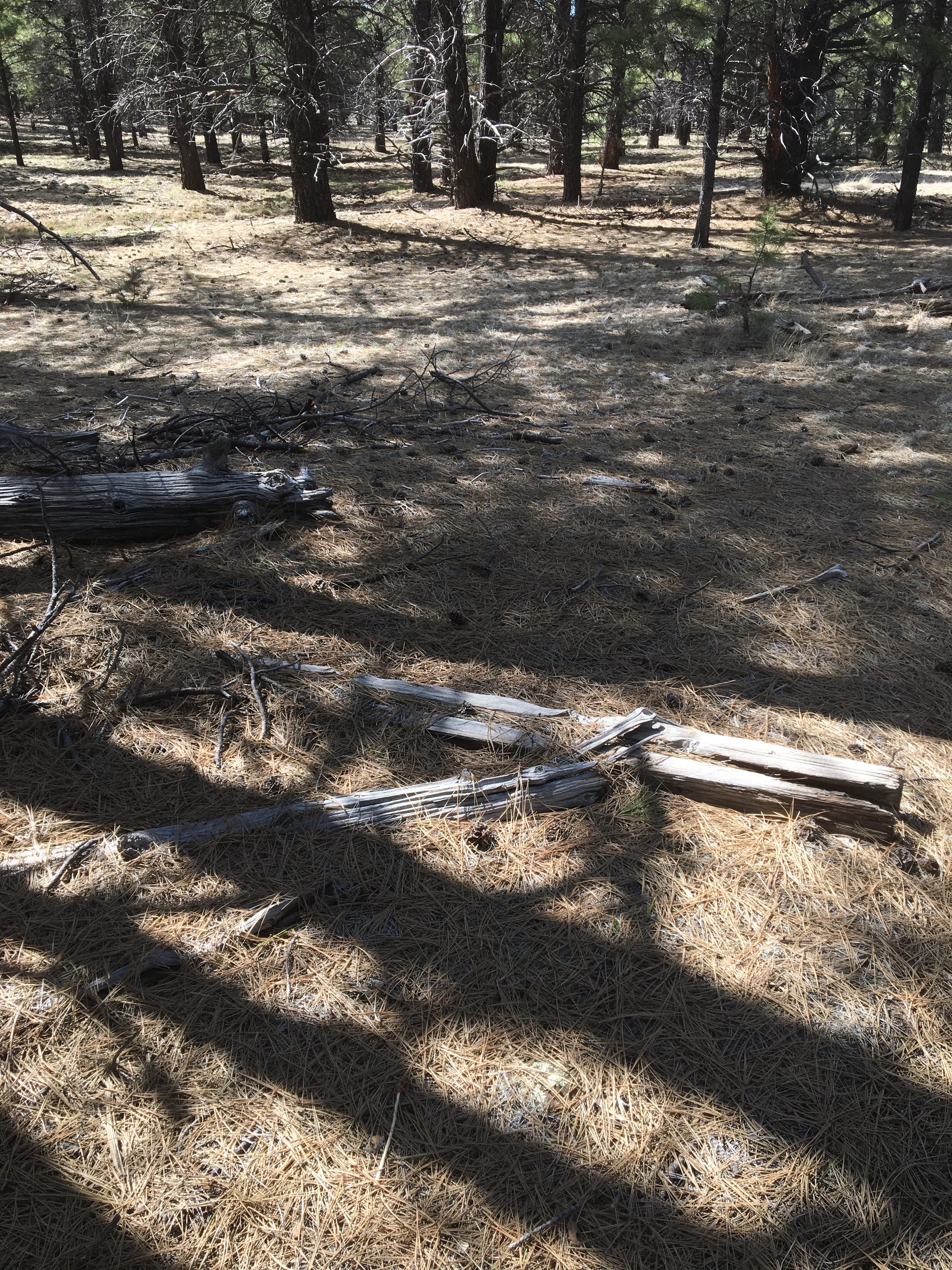
Looking West, where the grade exits the canyon

Artifacts found, and left, at the entrance to the canyon


Looking east from the canyon. Tree line shows evidence where the grade crossed Moose Tank area. The second South Chalender grade terminates just North of the property, distant enough not to be effected by the new development
Rosilda Spring Canyon

The existing remains of the logging line through Rosilda Spring Canyon. Two connecting spurs are shown, one of which is located at Rancho Viejo Tank.

Remnants of the spur


Who loses a boot? or, what the bear left behind...

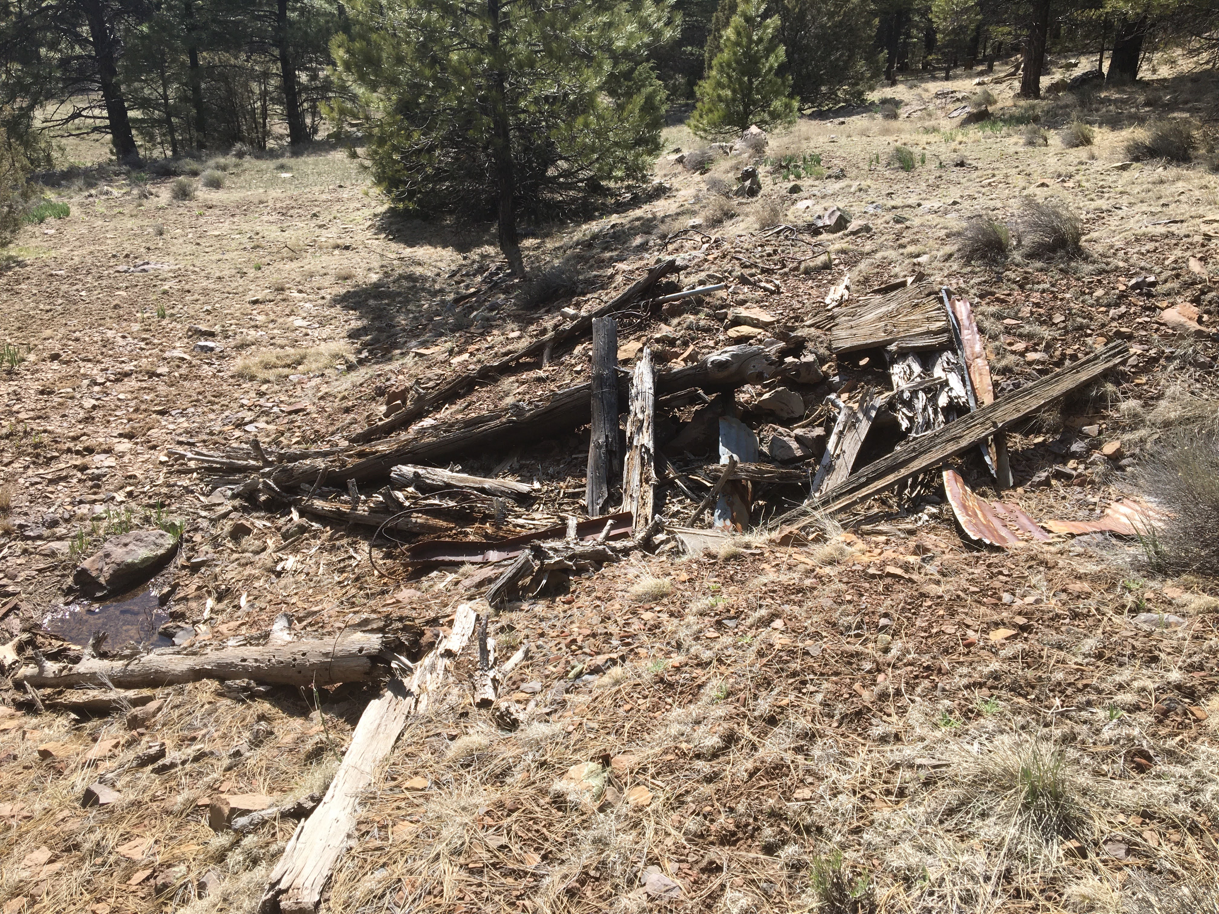
The entrance to Moose Ranch, off of FR139. Just to the west of the entrance there are the remains of at least one small dwelling, possibly two. Several depressions exist, with the detritus and artifacts commonly found around a cabin. Whatever was here, it was temporary. It also appears that a spur curves from the Rosilda Spring area, heading south across FR139.
Grades and Spurs South of Moose Ranch Tank
South of Moose Ranch, a spur runs deep into the woods, paralleling FR65A. The road turnout can be see on the south side of FR139, near the telephone poles. The spur's grade was almost obliterated by the passing of time, most notably the 1000 Year storm that flooded the area. The spur angles away from the road, reconnecting where the telephone poles make a sharp turn.


View of FR64C.
As the spur headed south, it divided into to segments; one reconnecting with the forest road, and the other heading south through a protected area. This area is environmentally sensitive, and is posted no trespassing. Part of this spur can be found in the wash area, just outside the protected area.


No comments:
Post a Comment