BARNEY FLATS
COPYRIGHT; ALL RIGHTS RESERVED (5/10/22)
The Saginaw Southern Railroad, part of the Saginaw lumber Company, ran due south from Williams, Arizona. Started in 1898, the road wound its way through the rich timber stands, and at the far end eventually passed Davenport Tank, before reaching an abrupt end of the line a few miles to the south. Along the way the line crossed a beautiful and scenic area, known as Barney Flats. The company was not in the business of selling scenery, but had a keen interest in Ponderosa Pine. The surrounding area near the Flats was rich in timber, waiting for the touch of the crosscut saw. Whether it was by design or coincidence, this geographic location proved central to the number of spurs winding their way into the woods.
Barney Flats doesn't appear to be the site of a logging headquarters camp. Instead, the surrounding area was systematically logged, and then the operation was relocated on a new spur. What was different at Barney Flats is, the mainline remained until all the spurs had exhausted the available timber supply. Although all of the connecting branch lines and spurs were not contiguous (all operating at the same time), significant activity continued, funneling through the Flats from 1898 until circa 1909.
(It is one of my theories, supported by archival and field research, that the Saginaw Southern as a logging railroad lasted longer than has been previously documented. Although expanding and contracting through the years, as long as it existed it provided valuable support to the logging spurs and branch lines. The vast expanse of acreage that was logged prior to 1910 lends credibility to this theory. The line has far more significance than just a footnote in history.)
Barney Flats is registered as a National Historic Site, in recognition of the existence of the large stump field. It has a significant historical aspect, due to the site providing insight into early railroad logging operations, and preservation of a portion of the Saginaw Southern Railroad.
As a National Historic Site, the area has government protection. Artifacts and historic remains should not be removed or disturbed. The site can be accessed and enjoyed, but leave it as you found it. Significant fines and penalties are enforced. Hopefully more signs will be posted to protect the site. Additional information can be provided in a visitor center-type structure. People then can understand and appreciate what the site represents as a historical setting.
The history of Barney Flats includes: the old Overland Trail Road; the Perkinsville Road; the Saginaw Southern with all the interconnected spurs and branch lines (four and counting); and the Civilian Conservation Corps. Add ranching, hunting and recreational activities, and you have a remarkable place with an unassuming name.
One personal comment I must add: enjoy the area, but please take your garbage with you. Over the past few years I have noticed an alarming disregard for nature. Water bottles are scattered everywhere. Trash is left at camping areas (hunters are the exception; after they leave, their campsites are remarkably clean and orderly.) If you don't want the forests closed to access, then take personal responsibility and respect the land. If you think this couldn't happen, then think again. I lived in the Pacific Northwest and large swaths of the National and State Forests are closed.
Southbound view from the crest of the ridgeline on Highway 73- Perkinsville Road, just before entering Barney Flats. Summit Mountain is in the distance.
Highway heading South, crossing the Flats
View looking North, Bill Williams Mountain in the background.
Overview pictures of the historical area. The site is located to the east of the highway.
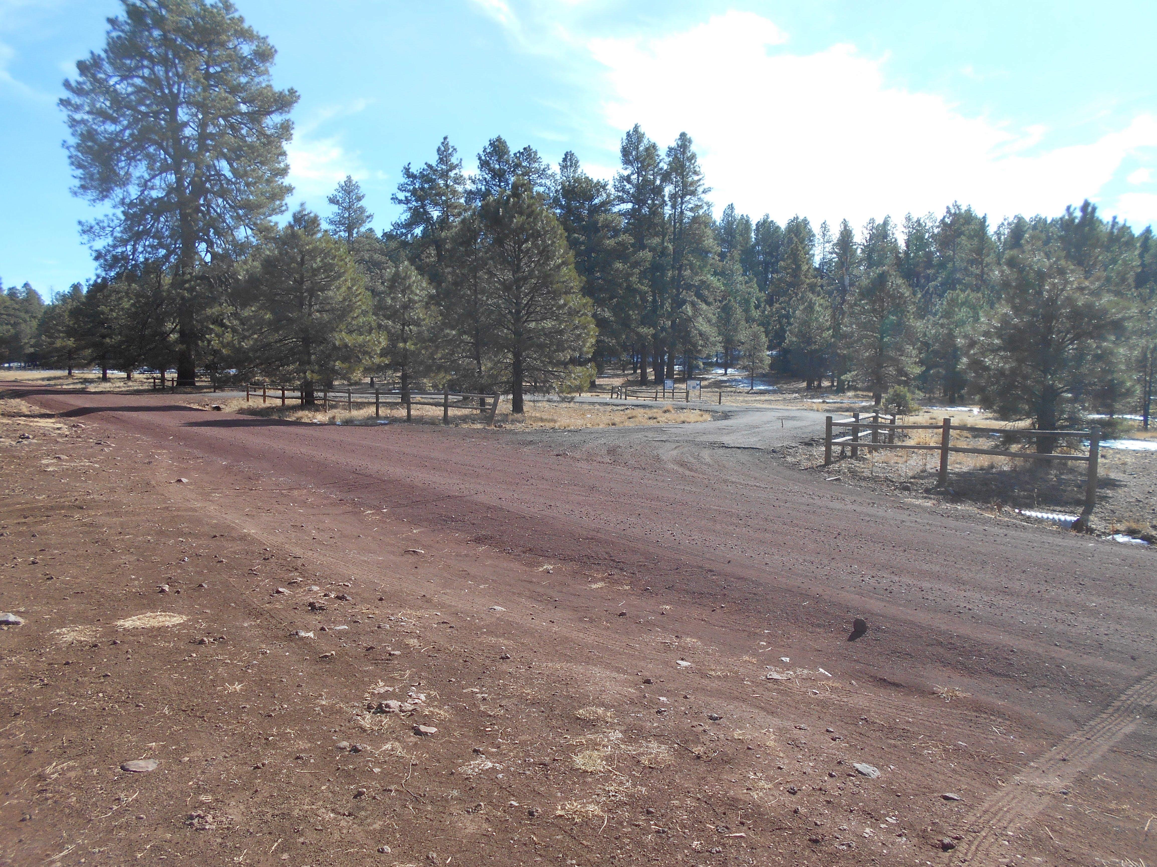
Visitor pull-out, located South of the Flats, on FR139.
Although the signage is entitled The Overland Trail Road, the information refers to the local history, including the Civilian Conservation Corps. The CCC played an important role during the depression years of the 1930s. Men were provided housing, good food and pay - all under the strict guidance of military regulations. Those that participated in the program had regular work assignments, attended classroom instruction, and were provided training in various trades. They built and maintained trails, constructed buildings, and performed other tasks that benefited the community.
A group of CCC workers.
(Arizona Memory Project: Williams, Arizona Collection. A copy of the original scan
is available at the Williams Historic Photo Project, located in Williams, Arizona.)
The Overland Trail Road intersects with Highway 73, at FR139. The old Trail played a significant role in the development of the Saginaw Southern Railroad. The railroad followed the trail south (Please refer to the posting on the Saginaw Southern.)
Another spur ran parallel for some distance alone FR139. Remnants still exist, including a short section of grade with ties.
Southern end of Barney Flats. Red arrow designates visitor pull-out and location of CCC camp.
Orange line is the Saginaw Southern as it heads south. Blue lines are additional spurs in the area.
Looking to the North, the railroad grade near Highway 73. This location is a short walk from the intersection of the highway and FR139.
The grade as it moves closer to the main site.
Ties on the roadbed, near the center of the site. A siding existed near this point, based on finding the remains of a switch stand. The siding was probably used by the firewood cutters, and the camp cars.
Remains of what appears to be a log loadout ramp. Years ago there was more to this feature; time is taking its toll. A similar feature exists near Rancho Viejo Camp.
A closer view of the stump field.
Cast iron link, used in link and pin couplers. This particular artifact suffered significant trauma, causing the link to bend and crack. The use of this type of coupler was particularly hazardous to brakemen, causing terrible injuries including death. It has been said that in the old days the way to know how many years a brakeman worked was to count the number of missing fingers. Link and pin couplers were outlawed in the early 1900s for interstate and interchange use on the railroads. Non-interchange railroads, such as logging outfits, were exempt. The Saginaw and Manistee railroad lines had to update their equipment, owing to the fact that they interchanged with the Santa Fe Railroad.
If this artifact, or any of the others, had been removed, then the story of this area would not be fully told. It is important to leave artifacts in their natural state, particularly in a Federally protected site.

A bottle discarded some 100 years ago. The amount of items in this area can lead one to believe that camp cars were once at this location. Camp cars were commonly used in the early 1900s. They differ from portable camps; camp cars are usually converted box cars and remain rail borne. Portable camps were small cabins and related structures that were transported on log cars, then lifted and placed at a new location. The cars were located at this site only until the work was done, then moved to the next logging operation. Such was the life of the logger; always working, always moving. At least the food was plentiful and good.
Ties found in the area

Horse shoe with cleats. Horses were used extensively in the early years. Their contribution to the logging operations cannot be overstated. In some aspects, the proper care and feeding of the animals was more important than the men.
LOGGING RAILROAD BRANCHELINES THAT CONNECT WITH BARNEY FLATS
At the north end of the Flats, the Big Spring Canyon Branch line intersects with the Saginaw Southern near FR3261 and Highway 73.

One of the interesting features to the east of the highway. This cabin is constructed of ties, more likely built once the railroad abandoned the area. Location is on FR3261
Remnants of the line, near FR 3261
There is about one mile of grade with ties. It continues on, towards Lucas Tank
and Big Spring Canyon.
Just to the west of this intersection, FR3110 connects with the highway. This road appears to be the start of the line that crosses Cougar Park, then enters Hell Canyon. Research continues on this branch line, so stay tuned for further postings.
The Coleman Lake access road, FR108, heading west from the highway. This forest road generally follows a branch line of the logging railroad; winding its way past the Lake, down MC Canyon and below Elk Ridge. The line then accessed the pine forests at Jackass Flat. Little of the original roadbed exists, but remnants can be still seen, and large numbers of stumps attest to the fact that the loggers were here. The older Forest Service maps also denote the line's existence.
Coleman Lake deserves mentioning. Originally developed as a recreational area, the Lake has an abundance of free camping. Just pull in where space is available. There is evidence that the lake was to have a marina and other waterborne activities, but alas it is a seasonal water feature. Nevertheless, it is a nice area to just enjoy the outdoors, and hike along the forest roads.
SAGINAW SOUTHERN GRADE, NORTHERN END OF BARNEY FLATS
Having traveled the Perkinsville Road many a time, on various adventures, I had grown accustomed to seeing the same scenery over and again. Like most persons, you kind of take for granted the familiar- missing the potential for discovering the unique. I always assumed that the Saginaw Southern mainline followed the current highway, given that it was easier to use the old railroad grade than build a new highway grade. It was not until recently, when the area was logged again, that the old northbound grade out of the Flats became apparent. As you descend into the Flats, the curving grade is just to the right, on the westside, of the highway. This section was built in 1898. Much of the original grade with ties remains, possibly due to the peaceful seclusion that this remnant has enjoyed for over the past 100-plus years.
Looking North along the grade
View from the grade, looking East towards the highway. The southern portion of the grade curved across the highway, heading towards Barney Flats. There are some three curves on-grade, from the top of the ridgeline to where it finally enters the Flats,
Heading North along the grade
A study in details
Near the top of the grade. The grade crosses the highway, then curves again, paralleling on the east side. The following pictures depicts the top-of-the-ridgeline, easterly portion of the grade
Ties that still exist in the cut area
Part of a cut for the grade
A good view of how difficult it is to find the grade in this area.
Erosion and fire have taken their toll


No comments:
Post a Comment