PROLOGUE
Before we begin today's journey, I thought it would be appropriate to take a moment for some personal reflection. Although reasonably experienced and prepared for my forest adventures, there comes a time when you are forced to face the reality of nature's potential dangers. Sometimes true humility comes from being humbled, and this adventure truly had that effect. Sharing my experience will hopefully cause the reader to reconsider and plan on making better choices.
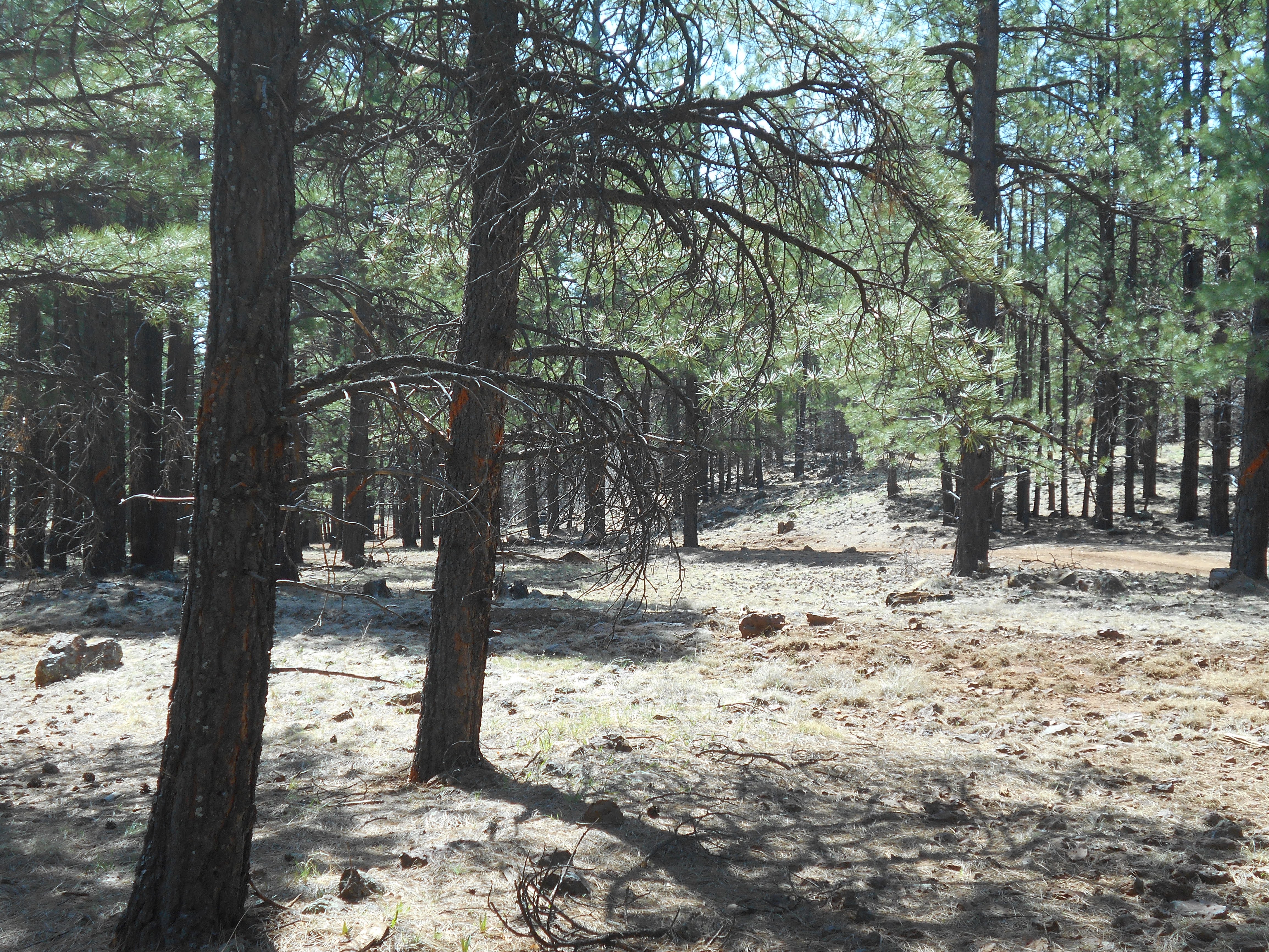
Although I prepared and planned months in advance, the execution went seriously wrong, placing myself in danger. One pitfall was not using an accurate map for the area, instead relying on the margins of my map to determine the route. Although having used satellite imaging to help plot my route, they don't show all of the nuisances of roads and geographical features. This area is also very rugged, with cliffs, narrow ravines, steep hills and rocky terrain. Not to mention snakes and other wildlife that rest within that cleft of a rock you hope to use as a handhold.
There are numerous tanks in the area, which can be confused for one another. It is remote, the terrain is confusing, and little or no hope of seeing someone for days. Do not underestimate the potential to get lost in this area; if you don't have navigational skills and are alone, you can face the end of your days. This is serious a reality check. I will certainly heed my own advice.
To increase your odds of survival, travel in a group. Take someone with you that knows the area and the location of the Volunteer Canyon Trestle. FR530 is the main road through the area and is best traveled with a 4x4 vehicle. Some would advise to approach from the Flagstaff area, not from Garland Prairie. It can be extremely difficult to traverse from the Garland Prairie side.
To the North of this area is the Camp Navajo Base. Do not cross into the secure area. Study the maps and keep clear of the controlled zone. It is usually well marked and patrolled by armed security personnel. If you wander into the area, an up-armored, up-gunned Humvee will confront you, as they regularly patrol the perimeter. If you read this, you have been for-warned; don't feign ignorance.
Two separate locations are covered in this post: a rock-fill trestle that crosses Volunteer Wash, just South and East of Garland Prairie, that is part of the Saginaw and Manistee Garland Prairie line; and the Volunteer Canyon Trestle, that is located further East, and is associated with the logging lines from Flagstaff, Arizona
GARLAND PRAIRIE LINE; VOLUNTEER WASH TRESTLE
COPYRIGHT; ALL RIGHTS RESERVED (5/10/22)
Looking East, towards Volunteer Wash
Grade as it approaches the wash, North of FR530.
Trestle as it approaches the Wash, looking East. In comparison with two years ago, the area is quickly eroding. Quad vehicles breaching the rock fill trestle doesn't help. You may think it's just a berm, but it may be a historical feature spanning the landscape.
Sign at the wash, near where the road crosses the deep gulley.
Trestle as it continues on the East side of Volunteer Wash. From this point, very little evidence exists as to where the spur continues. One hundred years of natural erosion has removed most of the grade
SAWMILL SITE
I have decided not to share the exact location of the following historical area. All of the a buildings and artifacts are under the protection of the Forest Service.
In the distance are the remains of a cabin.
Just above the cabin is the foundation of another cabin. Note to the left of the picture are markers designating the Forest Service Boundary with the Camp Navajo Military Reservation.
Just to the North of the cabin site, part of a fence line can be seen.
This is the boundary with the Military installation, DO NOT CROSS. Although a sign may not be present, the area is delineated with a fence line with red posts. Cabins are on Forest Service land.
A close-up view of the tooling methods used to build the walls. Logs were notched, using an ax; nails were used to secure pieces between the logs.

Originally I considered this third site a foundation for a building. After noting that the other structures did not have a similarly built foundation, I view this to be a loading deck for a portable sawmill, as it resembles other sites having a loading ramp or saw mill. There are no other artifacts of consequence to identify the site. Remarkable that this area still exists, considering the formidable forces of nature- fires, floods, humanity- have not eradicated the site.
VOLUNTEER CANYON TRESTLE
As stated prior in this posting, this site can be a formidable challenge to find. DO NOT underestimate the potential dangers. Be prepared; this is not a casual walk in the forest. You may ask; why then should I mention this historical artifact? It is not unknown to the community of ferroequinologists (those that study the iron horse. Similar to those who hope for unicorns, only that steam engines are real. However, some might argue that point after talking to a dedicated train aficionado.) Some do not mention the hazards of reaching this location. It is a substantial structure, but a sober choice needs to be made between the journey, or just reading my post. Sometimes just reading the information is better than risking life and limb.
Location of the trestle, as seen by satellite. RED is the roadbed of the spur; ORANGE indicates the structure's location.
Having found the trestle, my first impression was that of disappointment. It did appear to be just a short section of a pile of old logs.
As with all things found in the forest, I began a closer inspection. The logs varied in size from six inches to several feet in diameter. I did not measure the length of the logs, but they appear to be 8-16 feet in length. One unusual aspect began to come into focus; this section did not connect one bluff to another ridge, as if passing over a stream. Rather, It descended from the bluff to the canyon floor. The angle of descent appears to be an approximately 3-4% grade.
I was considering leaving the area, until I decided to climb the bluff in the distance. Or I could have just walked the trail, seen to the left in the photograph. This led to the second section of the trestle.
Looking down on the second section of the trestle. I began to understand the size and length of this once functional structure.


A closer view. This provides some idea as to the construction techniques used, as well as an understanding as to the size of this massive structure. I believe this, as one blog site called it, is a pole road, or pole trestle. With further information provided by the Forest Service, this type of construction technique is called a cribbed or pig-pen method. This is something that I find unusual, more common to logging railroads of the South West. In the Pacific North West, examples can be found using similar techniques, then as time progressed were phased out. The most common method of construction used in mainline railroads involved a trestle made of bents: beams or poles with cross supports built in sections and secured with bolts, then connected with a bridge-type structure upon which the rails and ties are laid. At this site, there appears to be no foundation work, other than leveling where needed. No concrete or substantial strata such as rocks or gravel is in evidence, other than the approach to the trestle, and the short section across the protruding ridge.
From these pictures, we can deduce as to how this was built: stack the logs to the desired height (notching the ends to fit), run longer and larger logs across the stacked sections, add cross members as needed, fill in with additional poles to provide a rudimentary deck, then lay the track. Add additional supports and nails as needed. Keep the trains rolling. (This same type of construction can be seen elsewhere at the Hardy Hill Trestle, on the North Chalender Line.)
The amount of timber that was used was enormous, and at today's prices would have been worth a sizable sum. At the time it was built, expediency and efficiency were the deciding factors. Why not use the product at hand, which was timber? To their thinking, there was plenty more where this came from. Simplicity of construction won out over time and effort spent in designing a more conventional trestle. Modern engineers and safety experts would never allow such a thing to be built, no less consider it safe. And yet here it is; behold an ancient wonder, a marvel that it still exists to this day. Surely it met their needs, and remained together long enough for them to harvest the nearby timber stands.
Imagine steam engines, pulling loaded bunks of logs, crossing this structure. Enough that smoke belching, steam streaming iron monsters plied the forest- now they were placed high upon a a wooden structure crafted by the hand of man. Courage was best ascribed to the crews of the logging engines, prudence dictated a safe distance for any on-lookers as the trains passed by.
A water bottle is in the picture, located next to a log. This should give an indication as to the massive size of the logs that were used.
At the top of the trestle. Much erosion has taken place, revealing that substrata of rocks were laid, and then was added a layer of dirt fill as ballast. A shelf was cut along the hillside for the grade. Looking East, the area is heavily overgrown, and the grade has deteriorated to the point where it would be difficult to hike. No indications of ties or other associated artifacts.
Close up view of the construction methods used in building the trestle. It is made up of large square cut beams, and notched logs. Long wire-cut nails were used to secure the parts together. No indications of large spikes in the trestle components. Likely that beams were later introduced to help strengthen the structure. Currently the structure is in a state of arrested decay; slowly and inevitably disappearing as time and nature consumes the furtive efforts of humanity.
The grade continues west of the trestle site, along the wash. Further along the grade, there is a clearly marked and well-maintained fence, posted with No Trespassing signs; this is the Military Installation. Sign states it is a Felony to cross the fence. Take heed and stay clear of the area.


No comments:
Post a Comment