Williams, Arizona; Stage Station Bike Trail
One of the things I like to do on a day when the weather is pleasant, and that time is not an issue, is to head out on a well-traveled forest road. You never know what an interesting view or historical site you might find. This is assuming that the car is well-stocked with supplies and a tank of gas is waiting to be used. Good forest sense must be used at all times. I also keep my maps in the car in case the urge to explore comes upon me. Always be aware that all forest people are not your friends, so be prepared.Forest Road 108 can be accessed from Interstate 40, just west of Williams. Take Devil Dog exit, go south on to the road. I would like to hear why the exit has such a defining name. Google Map the area first; nearby is a reservoir with an old dam and the roadbed for the Atlantic and Pacific Railroad.
The Stage Station Bike Trail is about 12 miles from the Interstate. This interesting area can be accessed by 4x4 vehicle. It is supposed to be about 12 miles long, seems like 20 miles. It is rocky, steep and challenging in some areas. However, it is worth a side trip because of the terrain and is a historical area.
A good map is located on "Singletracks.com. Stage Station Loop Photos." Local tanks include Deadman, Cow, Station and Stage tanks. All of these are accessible from the loop road.
The Station Site is not marked along the road. However, keep your eyes open for other interesting features. There are elk, deer and squirrels to be seen, along with a large flock of turkeys lurking in the forest.
I traveled to this site twice in a week's time. It may or may not be directly connected to the Saginaw. I just can't give up on a location until I prove whether it was or was not part of that company's legacy.
The arrival of the Atlantic and Pacific Railroad in Williams opened this portion of the rim country to further development. Stage connections were made to Perkinsville and Prescott. Although a military road connected Flagstaff to Prescott, Williams could now be the hub between the railroad and the inland towns of Arizona.
Stage travel was not a glamorous way to get from one place to the other. Natural air conditioning was the norm; if it was warm outside so was the coach, and if it was cold your only recourse was to dress warm. In the rough terrain of the Bill Williams Mountains assisting the horses with the stage was often the necessity. You could find yourself walking behind or in front of the stage, depending on if it was uphill or downhill. Comfort was a convenience, not a necessity. Whatever the challenge, a stage ride was superior and faster than a wagon ride and often was the only connection to distant points until the railroad arrived.
The stage lines did not begin to disappear until additional railroad lines were constructed. Even then, it was possible that lines connected the towns, crisscrossing the landscape where rails were never laid. One example are the stage lines to and at the Grand Canyon area, most notably a historic stage road that can still be traversed from Flagstaff to the Grand Canyon. Along the way there is at least one stage station that is preserved as a historical site. The trip between the two points would take three days (more on this in an earlier post on this Blog.)
The Saginaw and the stage lines were contemporaneous- existing at the same time. To find indicators of either historical event may not verify that they belonged to one or the other, however it is part of building a case for whomever was present during this time period.
 |
Intersection with FR108 and FR41.
It is a rocky road. Imagine the stagecoach traversing this area. Stage travel was not for the faint of heart or the genteel of spirit. By comparison, this would seem to be a well-manicured highway to the stage roads of a bygone era.
Some would say that this is an easy road to traverse. A 4x4 is the only way to go,
unless you take a bicycle.
The area has a diverse mixture of trees, including Ponderosa Pine, Junipers, and scrub oak.
Cow tank area. Note the stump.
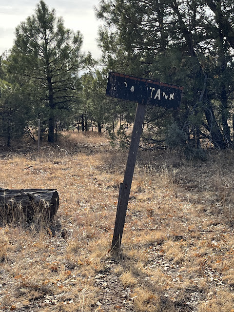
Cow Tank sign.
Not the best image, however I was more interested in the log. Yep, drive a forest road to find a log. Well, it does have some historical interest. The aged patina was first to draw my attention. On closer inspection, the length and the appearance of the cut indicated that this could date to the time of the stage lines or possibly indicate that the Saginaw was in the area. A prior picture showed a stump, which appeared to be cut in the manner of that time period. The loop bike trail is dotted with stumps from that time period, which could only mean that the same technology was used by the Saginaw and other early loggers. Logs and other detritus are also relatively common; what makes it more challenging is that the area has since been logged again in the decades after the initial event took place.
The road overlooks a ravine. I could imagine the stage line running through this area, gently descending to the Prescott Area.
There is a variety of plants growing along the route. Take the time to stop and admire the flora and fauna.
The landscape can be very deceiving in the forest. On the road, I followed the ravine, which ended as a box canyon. No way you could find a gentle ride to destinations south.
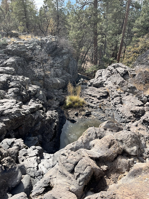
Carefully looking over the boulders at the plunge pools in the rocks.
Take note of where these fallen trees are located. They were not placed here by the Forest Service, rather they were washed down the dry stream bed by a flashflood. This should give an idea of the power of a sudden monsoon downpour, and the resulting flooding of the stream bed. The normal rock surfaces are worn by the flow of water, and the freezing winter weather breaks apart the boulders. Nature must be held in awe for its beauty and respected for unbridled power.
Full image of Cow Tank Area. There is a corral to the left of the image.
Station Tank
Forrest scene with a stump. Stump indicates early type of logging by handsaws.
Stage tank. Although I could not find the remains, the station is probably located near the area of
Stage and Station Tanks. A blogger posted in 2015 that the remains of the station could still be seen from the road.
I will take some freedom to speculate; could this be part of the old stage road? It is satisfying to imagine what might have passed this way.


No comments:
Post a Comment