SAGINAW AND MANISTEE, BELLEMONT LINE: NORTH OF KENDRICK PEAK, PART 1
(KENDRICK NORTH: EAST BRANCH)
COPYRIGHT, ALL RIGHTS RESERVED
MAPS COURTESY OF GOOGLE MAPS (REGISTERED TRADEMARK)
This post begins a multi-part series on the Saginaw's Bellemont Line, North of Kendrick Mountain. To simplify understanding, and avoid a very long title sequence, this series will henceforth be entitled either Kendrick North: West Branch, or Kendrick North: East Branch. If you have a forest map handy, these two branches split from the main Bellemont line near North West Tank, at Cowley Park. This area is on private property, and is beginning to be built up. Some of the lines in this area can be seen from the road or accessed by forest roads.
The west branch generally follows a northerly heading, passing along the base of the peak, past Crater Spring Tank and Crater Lake. The line becomes FR760, looping to the West of Horseshoe Hill, then intersects with FR191C (which is accessible from Highway 180.) FR 760 continues North, intersecting with FR90. More on this area on a later part of this series.
The east branch is a bit more challenging to find. The line at Cowley Park is difficult to follow, due to private property and closed roads. At Mudersbach Intersection, the line continues north-easterly along remote roads, eventually intersecting Highway 180 at FR191C. It then continues north along FR9007, until ending somewhere in the wilds of Arizona. This branch includes the Kendrick Park spur, the Curley Seep Tank spur, and others on the east side of Highway 180. Prior blog posts describe this area in more detail.
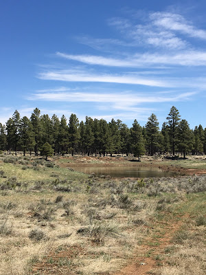
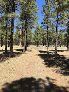
There is a branch spur that passes through Curley Seep, on a northerly direction. A forest road covers sections of the roadbed and may be closed to motorized vehicles. I chose to park at the tank and walk the spur. I came out into the forest to get exercise and do research, not sit in the convenience of a vehicle. We should reconsider driving about in a quad vehicle, and rely more on walking in the wilderness. Coordinates given are for reference only, and should be varified by anyone accessing this area.


No comments:
Post a Comment