North Chalender Line; W-Triangle Tank, East Elk Spring Area
COPYRIGHT; ALL RIGHTS RESERVED (5/10/22)
Flatline Maps, AZ GMU 7W
The North Chalender Line holds special meaning for me, as it was one of my earliest field research projects. This spurred me on to further research in the archives of the Chandler Library, at the Northern Arizona University Campus. The report by Pat Stein (see references) challenged me to explore the region, finding answers to her questions; did the Bellemont Line connect with the North Chalender line? What was the purpose of the Hardy Hill Trestle?
Before proceeding further, I must again give emphasis to the fact that this area has historical value, and is protected. The cabins and surrounding area is tagged and marked by the Forest Service. Part of the area may be on private property. Disturbing the structures can result in significant fines. Cattle are often found grazing, wherever and whenever they please. Ranchers are very protective of their livestock, so yield the right of way to the animals. As mentioned in a previous posting, harming livestock can result in serious fines.
For such a brief existence, 1902-1906, this line left an indelible mark upon the landscape, having intertwined with other historical timelines and events such as the Beale Wagon Road, Native American rock art, and the migration of scores hardy souls heading to the promised lands of California and the Arizona Territory. To this day, I continue to search the forests, hoping to reveal more of this fascinating history.
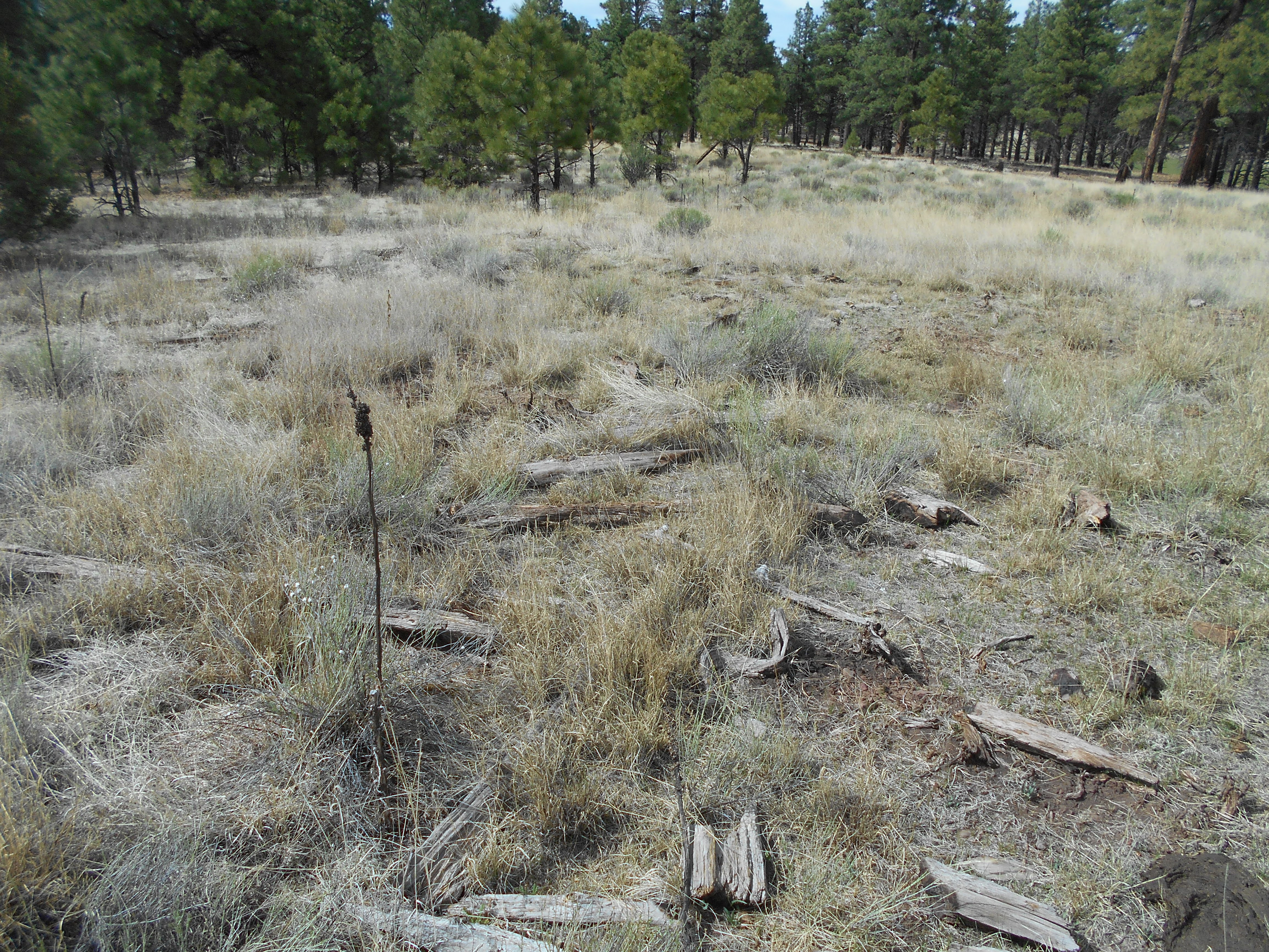
One of the more interesting places is the W-Triangle Tank, East Elk Spring area, located to the west of Spring Valley. Here lies a spring fed, verdant meadow. In the early Spring, this place is covered in tall green grass, ready to satisfy the livestock of early immigrants, the deer and elk, and camels. Yes, camels were likely to have grazed here, resting from the weary endeavors of the the Beale survey party. The original road passes within a stone's throw from the meadow. Camels provided transportation for the expedition's equipment (see posting on the Beale Road, Expedition.) The party blazed a path from one spring to another, crossing the High Country until reaching the Colorado River.
By the time that the Saginaw and Manistee entered the area, the road had fallen into disuse. Yet the memory of this spring fed meadow was not lost to history, as local homesteaders and reclusive individuals inhabited the area. Remains of log cabins dot the landscape. Particular mention must be made of the original peoples, the Apaches and other tribes that used this as a retreat and hunting grounds, long before the entry of the mountain men. Several nearby areas are inscribed with their symbols, at Laws Spring (named by the Beale expedition), and the ravine traversed by the Hardy Hill trestle.
The Saginaw had one goal; harvest the timber. As such, they set about their task as quickly and efficiently as possible. Once iron rails were laid, steam engines thundered along, as if eager to grapple with the task at hand. The only major obstacle was Sitgreaves Mountain, which was skirted to the West and North by the rail line. When this was accomplished, the multitude of spurs could snake their way into the forest, following whatever streambed, and bypassing whatever geographical feature may lay in their path. Nothing would forestall harvesting timber for the mill.
This location was the site of a spur that reached into the North flank of Sitgreaves Mountain. Early logging operations relied upon horse drawn Big Wheel carts to move the logs from the forest to the railhead, and the steam engine. Both required copious quantities of water. This site provided a fresh source for the thirsty horses and steam engines. As a bonus, adequate grazing could be found on the meadow.

Red indicates the main spur. Yellow indicates the Beale Wagon Road Survey. Blue indicates the spur heading south, through the Tank area and on to East Elk Spring. The dotted Blue line indicates possible remnants of a spur, temporary in nature. An additional structure, common to a temporary spur, exists to the south of the Tank. In reviewing the satellite map, it is possible they were connected. Additional exploration will be forthcoming.


Sitgreaves Mountain, North view, as it slumbers through another winter

Looking South, towards the tank and the Mountain. On the right is the railroad grade.
In the distance, at the head of the meadow, is an earthen and rock fill dam.

The mainline, at FR97. The spur branches to the south towards the tank.

The spur gradually, steadily rises as it heads south, following the ridgeline until it reaches the tank.

Looking North from the dam structure. Imagine the meadow during the spring time; green, lush and well-watered.

View from the apex of the grade, as it begins its descent past the dam. The original grade gains elevation, passes the dam structure, then begins it's descent to the south. This indicates that some form of a natural dam existed at the site, allowing for a natural pond to form. Instead of cutting through the obstruction, the graders decided to bypass it along the ridge. The structure has large rocks and other rip-rap placed upon the slopes, indicating that this was improved and raised in later years. Given a good, normal monsoon season, this would be a very deep seasonal lake.

The grade begins descending along the ridge, near the fence line. Remnants can be seen of the grade, if viewed from the fence looking up the ridge. Time and erosion continues to reclaim the area.

Barely discernable is a grade-like structure, probably a
temporary spur later used as fence road. Location is just south of the Tank.

What appears to be a tie, located on the grade due south of the tank. The customary humped and upside down u-shape structure of a grade can clearly be seen. The grade continues south, to East Elk Spring, and unto the northern flank of Sitgreaves Mountain.
I must mention that this is home to mountain lions. Years ago I found the skeleton of an elk near the bottom of the creek. It appeared that the animal was chased over the edge of the creek, and was then brought down by grappling the head and twisting it back towards the neck. A very smart hunt by a very cunning lion. The skeleton was later consumed by other denizens of the forest.
On the second map is a yellow circle, indicating the location of a possible horse camp. This site would be ideal to corral the horses after they have grazed in the lower meadow. Where you have grass and water the customary vulture like mosquitoes lurk. Horses would not be too inclined to remain in the meadow when the parasitical humming birds of the forest, aka mosquitoes, come out in the evening hours. The high ground afforded some protection from the lowland area.
This flat area is where Big Wheel wagons or carts could be mended, and tending to horses to could be done in relative peace.

There are fence posts and barb wire throughout the location. It could be said that the area postdates the time of the railroad. However, I have found other locations where sites were in continual use after the loggers departed.

Mule and horse shoes are scattered about the site. This would indicate latter use of the area, probably for transporting supplies to hunting camps or such.

Debris is scattered about the area.


One significant find is this iron plate. It can either be from a switch stand and turnout on the railroad grade, or part of a Big Wheel cart. I have done some comparisons to existing carts, and have not come to a definitive conclusion. It is hand forged by a blacksmith, denoting an early purpose. On a recent survey of the area, the plate appears to be missing. This is sadly unfortunate, as such a substantial artifact can help identify the use of this area.

A nearby cabin site. The logs are ax-hewn, and debris is scattered about the area. This is marked and protected by the Forest Service. The only reason I included this in the blog is that the Forest Service (due to the proximity of the the Beale Wagon Road, the railroad grade and the early homesteading sites in the area) has done tours at the site.
The area was occupied for a long period of time, and over the course of the years was used by homesteaders, ranchers, hunters and other residents of the forest. Hope you enjoyed your visit.
*****

Further along the line, in the Spring Valley and Government Mountain Road.
BLUE is the North Chalender line, as it continues on east towards Beale Spring Area.
YELLOW is the Beale Wagon Road Expedition. Had to add the camel, just seemed right. You can see the trail markings, in the form of a camel, along the road.
The Beale trail generally follows the forest roads. The logging line crosses private property, and must not be entered without permission. From the road the grade can still be seen in several locations. The Beale Spring/Tank area is covered by the Bellemont Line posting.


No comments:
Post a Comment